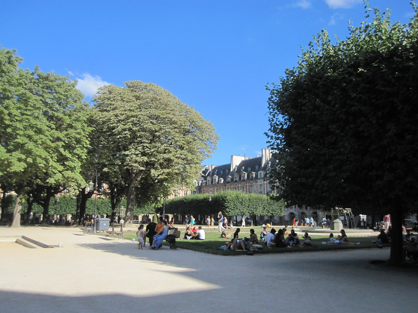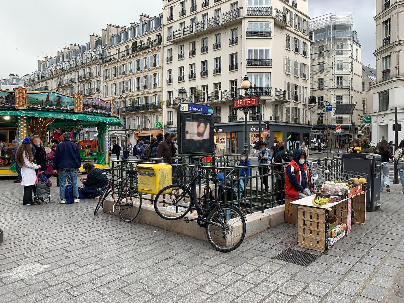
The Place des Vosges sits in the eastern Marais, on the border of the 3rd and 4th arrondissements, about 600 metres north of the Seine and just west of the Bastille. It is one of the best-connected spots in central Paris: three Métro stations are a few minutes’ walk away, and one of them — Bastille — is served by three lines.
Paris public transport is run by RATP and Île-de-France Mobilités. Fares and ticket types have been simplified in recent years, so treat the prices below as a guide and check the official apps before you travel.
The nearest stations
| Station | Lines | Walk to the square | Good to know |
|---|---|---|---|
| Chemin Vert | Métro 8 | ≈3 min | The closest; exit on Boulevard Beaumarchais |
| Saint-Paul | Métro 1 | ≈6 min | Line 1 serves the Louvre, Concorde, Champs-Élysées and La Défense; walk via the Hôtel de Sully |
| Bastille | Métro 1, 5, 8 | ≈7 min | The main hub; line 5 runs direct to Gare du Nord |
| Bréguet-Sabin | Métro 5 | ≈6 min | Quiet station on Boulevard Richard-Lenoir |
| Sully–Morland | Métro 7 | ≈8 min | Handy for the Île Saint-Louis and the Seine |
1. By Métro
Line 1 is the most useful line for visitors: it runs east–west across the city from La Défense via the Champs-Élysées, Concorde, the Louvre, Châtelet and Hôtel de Ville to Saint-Paul and Bastille, and continues to Gare de Lyon. It is fully automated and frequent. From Saint-Paul, walk east along Rue Saint-Antoine and turn left into Rue de Birague, or cut through the courtyard and garden of the Hôtel de Sully.
Line 8 stops at Chemin Vert, the closest station, and links the square with Opéra, Madeleine, Concorde and the Invalides–École Militaire area near the Eiffel Tower. Line 5 (Bastille, Bréguet-Sabin) is the direct line to Gare du Nord and Gare de l’Est.
2. From Charles de Gaulle Airport (CDG)
RER B runs from the airport to Châtelet–Les Halles in about 35–40 minutes; change there to Métro line 1 towards Château de Vincennes and get off at Saint-Paul (two stops). Allow about an hour in total. Airport journeys need a special airport ticket (around €13 at the time of writing). The Roissybus to Opéra is an alternative, followed by Métro line 8 to Chemin Vert.
Taxis from CDG to central Paris charge a regulated flat fare, which differs slightly for the Right Bank (the Marais) and the Left Bank — check the current rate at the taxi rank. Use only the official taxi rank or a ride-hailing app.
3. From Orly Airport
Since 2024, Métro line 14 runs directly from Orly to Châtelet in around 25–30 minutes; change to line 1 for Saint-Paul. Alternatively, the Orlyval shuttle connects to RER B. Taxis to the Right Bank charge a regulated flat fare.
4. From the main railway stations
- Gare de Lyon (TGV from the south, Switzerland, Italy): Métro line 1 to Saint-Paul — two stops — or a 20–25 minute walk via the Bastille.
- Gare du Nord (Eurostar from London, Thalys/Eurostar from Brussels and Amsterdam): Métro line 5 direct to Bréguet-Sabin or Bastille, about 15 minutes.
- Gare de l’Est (trains from eastern France and Germany): Métro line 5 direct to Bastille or Bréguet-Sabin.
- Gare Montparnasse (western France): Métro line 4 to Châtelet, then line 1 to Saint-Paul; allow about 30 minutes.
- Gare Saint-Lazare: Métro line 14 to Châtelet, then line 1; or line 8 from Madeleine to Chemin Vert.
5. By bus
Buses are slower than the Métro but you see the city. Several RATP lines — including the 29, 69, 76 and 96 — stop within a few minutes of the square; the 69 runs from the Eiffel Tower area past the Louvre to the Marais, a cheap sightseeing ride. Check the RATP app for current routes, as the network has been redesigned in recent years.
6. By bike and on foot
Paris has built hundreds of kilometres of cycle lanes, and Vélib’ bike-share stations are all around the Marais. Rue de Rivoli and Rue Saint-Antoine, a main east–west cycle axis, pass just south of the square. On foot, the Place des Vosges is about 10 minutes from the Bastille, 15 from the Hôtel de Ville, 15 from the Île Saint-Louis, 25 from Notre-Dame and 30 from the Louvre.
7. By car
Don’t. Much of the Marais is pedestrian-priority, traffic is restricted in the central arrondissements and parking is scarce and expensive. If you must, use a public car park near the Bastille or Saint-Antoine and walk.
Arriving at the square
- The grand entrance: walk up Rue de Birague from Rue Saint-Antoine and pass under the arch of the Pavillon du Roi — the royal way in.
- The secret entrance: enter the Hôtel de Sully at 62 Rue Saint-Antoine and walk through its courtyard and garden to the south-west corner of the square (when open).
- From the Marais: Rue des Francs-Bourgeois leads straight from the Musée Carnavalet and Rue des Rosiers to the north-west corner.